服务咨询热线
热门关键词: 精彩案例一 精彩案例二 精彩案例三 精彩案例四 精彩案例五
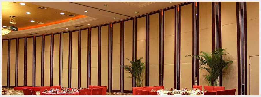
案例展示
高品质室内设计、装修施工
醴陵雅居装饰工程有限公司是一家以室内设计、室内装饰施工为主营业务的现代化设计装饰装修企业, 我们深耕商业设计及行业领域多年,是一家“守合同、重信用、要品质”的设计工程企业,公司致力提供“信誉第一、质量第一、服务第一”是我们永远遵循的宗旨,尊重传统、推崇时尚、锐意创新、志在超前是我们经久不变的理念。